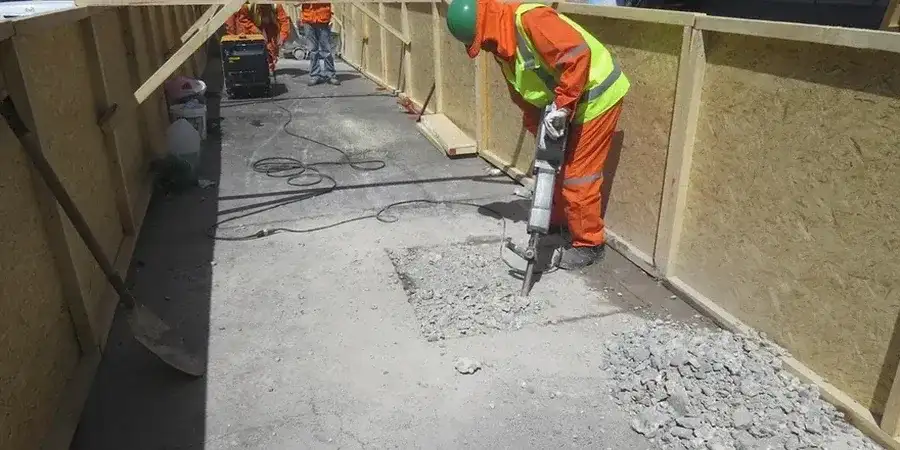
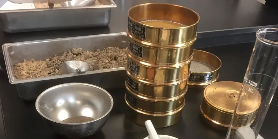
The geotechnical contrast between a Papamoa beachfront site and a ridge-top lot in The Avenues couldn't be starker. One sits on deep, potentially liquefiable Holocene sands where the water table lurks just a metre down, while the other is anchored in weathered Ignimbrite that amplifies short-period motion. A blanket seismic hazard map won't capture these differences—and in Tauranga, with its population pushing past 160,000 and a building boom reshaping the waterfront, that gap in data translates directly into either costly over-engineering or dangerous under-design. Our seismic microzonation studies bridge this divide by quantifying site amplification, fundamental period, and the specific ground motion spectra your structure will actually experience. Before finalising your foundation system, we often recommend integrating the findings with a cone penetration test to precisely map the soil stratigraphy and liquefaction susceptibility layer by layer.
In Tauranga's harbour-edge basins, a site-specific microzonation study can reduce your design spectral acceleration by 20-30% compared to the default Class D assumption—that's a direct saving on structural steel and foundation concrete.