GEOTECHNICAL ENGINEERING1
TAURANGA
HomeGeophysicsElectrical resistivity / VES (Vertical Electrical Sounding)

Electrical Resistivity Surveys & VES for Geotechnical Projects in Tauranga

Practical geotechnics, field-tested.

LEARN MORE

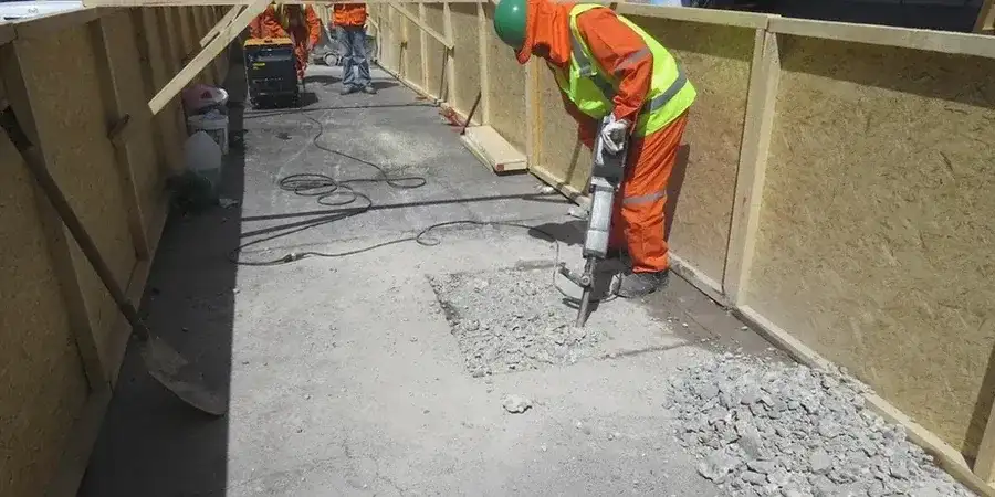
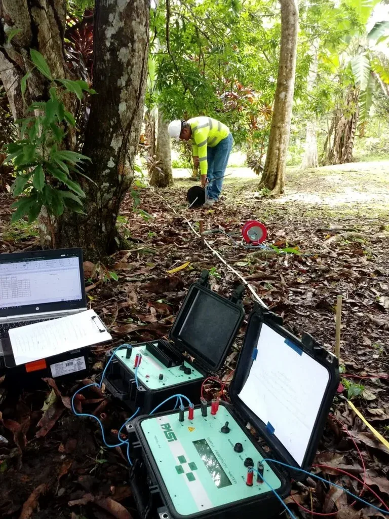
The ground conditions between Matapihi and Bethlehem can shift dramatically over just a few hundred metres. On the harbour side, you often encounter soft estuarine silts and high groundwater, while moving inland toward the Kaimai foothills reveals layers of volcanic ash and ignimbrite. This variability makes a single borehole insufficient for site characterization. We apply electrical resistivity and VES surveys to map these transitions continuously across a site. The method measures how soil and rock resist current flow, which changes with porosity, saturation, and clay content. For Tauranga’s mix of pumiceous sands and underlying rhyolite, we often pair resistivity lines with a CPT test to tie geophysical signatures to direct penetration data, giving you a defensible ground model before any earthworks begin.

Resistivity gives us a continuous profile where boreholes only provide points—critical when mapping paleochannels or ash layers that shift laterally beneath Tauranga.

Our service areas

Methodology and scope

On the Papamoa coastal strip we frequently see perched freshwater lenses floating over saline intrusion, something that standard drilling logs alone can miss. Resistivity profiling picks up the sharp contrast between low-resistivity saltwater and higher-resistivity fresh groundwater. Our field setup uses a 4-electrode Wenner or Schlumberger array, with electrode spacings that we adjust on the fly based on target depth. For a typical Tauranga residential slab investigation, we might run spacings from 1.5 m out to 30 m, capturing the top 15 m of stratigraphy. Where the terrain gets tight—say, on a Mount Maunganui infill lot—we complement the VES data with test pits to visually confirm the topsoil and fill thickness. The data inversion is processed the same day, using solid algorithms that suppress noise from buried utilities and reinforced concrete, which are common in Tauranga’s older suburbs like Gate Pa.
Electrical Resistivity Surveys & VES for Geotechnical Projects in Tauranga
Technical reference — Tauranga

Local ground factors

Much of Tauranga’s urban expansion sits on the Tauranga Group sediments—interbedded sands, silts, and peats deposited over the last 200,000 years. These materials exhibit resistivity values below 30 ohm-m when saturated, and the contact between them and the underlying rhyolite (often above 200 ohm-m) can be abrupt or gradational. Missing a buried peat lens during a site investigation risks differential settlement that cracks slabs within the first five years. We have seen this in subdivisions near Welcome Bay, where pre-construction resistivity lines identified a 2-metre-thick organic layer that had been missed by widely spaced hand auger holes. The survey allowed the engineer to redesign the foundation strategy before concrete was poured. In coastal zones, resistivity also helps delineate the saltwater wedge, which has implications for concrete durability and reinforcement corrosion potential.

Need a geotechnical assessment?

Reply within 24h.

Email: contact@geotechnical-engineering1.co

Reference standards

NZS 1170.5:2004 (seismic loadings, relevant for site class determination), NZGS Guideline for Field Description of Soil and Rock, NZS 4404:2010 (land development and subdivision infrastructure), ISO 17025 (laboratory calibration standards for resistivity equipment)

Typical values

ParameterTypical value
Array configurationsWenner, Schlumberger, dipole-dipole
Typical investigation depth0.5 m to 60 m below surface
Electrode spacing range1 m to 50 m (adjustable on site)
Data acquisition systemMulti-electrode, 48-channel resistivity meter
Output deliverables2D resistivity sections, VES curves, 3D fence diagrams
InterpretationCorrelated with NZGS guidelines and borehole logs
Survey duration (typical lot)2 to 5 hours depending on line length

Quick answers

What depth can a VES survey reach in Tauranga soils?

Depth of investigation depends on the maximum electrode spacing we can lay out. With a 50-metre Schlumberger spread, we typically resolve layers down to 15–20 metres in Tauranga’s coastal sands. On larger rural lots near Pyes Pa, we can extend to 60 metres or more to map the ignimbrite basement surface.

How much does an electrical resistivity survey cost for a residential section in Tauranga?

For a standard residential section in Tauranga, resistivity surveys generally range from NZ$920 to NZ$1,560 depending on the number of VES stations or length of 2D line required. A site with complex access or extensive underground services may fall at the upper end of that range.

Can resistivity surveys work on saturated pumice soils?

The reference range for this service in Tauranga is NZ$920 - NZ$1.560. The final price depends on the project scope and volume.

Do you need both resistivity testing and boreholes on the same site?

They are complementary, not redundant. A borehole gives you a precise log at one location; resistivity gives you the lateral continuity between boreholes. Together they reduce the risk of missing a buried channel or lens that could affect foundation performance. Most Tauranga geotechnical reports benefit from at least two calibration boreholes tied to resistivity profiles.

How long does it take to get results from a resistivity survey?

Fieldwork for a typical residential line finishes in half a day. We process and invert the data the same afternoon, and you receive a draft cross-section with interpreted layers within 24 hours. Final report delivery with correlation to any existing borehole logs takes two to three working days.

Location and service area

We serve projects in Tauranga and surrounding areas.

View larger map