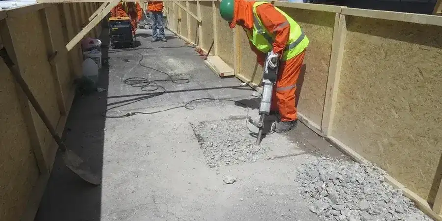
A retaining wall on Cameron Road started showing hairline cracks three days after the cut reached full depth. The contractor had skipped the inclinometer baseline survey, assuming the ground would behave like the weathered ignimbrite they knew from the Lakes. But Tauranga’s subsurface tells a different story. Beneath the sandy topsoil, alternating layers of pumiceous silt, weathered rhyolite, and the occasional peat lens create a profile that drains fast, then softens without warning. Our team stepped in, installed vibrating wire piezometers and in-place inclinometers, and provided daily deflection reports that allowed the wall design to be adjusted before the cracks became a structural problem. Working across the Mount, Pyes Pa, and the Te Papa peninsula, we see how variable the city’s geology really is. For deeper basements in the CBD, we often combine real-time monitoring with a CPT test to confirm the thickness of compressible layers, and for projects near the harbour edge we integrate liquefaction assessment into the monitoring plan to account for post-seismic settlement risk.
In Tauranga’s layered volcanic soils, an excavation doesn’t fail suddenly—it gives small warnings that only continuous monitoring can catch.